 Longitude / Latitude
Longitude / Latitude
Longitude / LatitudeMenu Project – Longitude / Latitude.
Here the location of the installation is entered. It is needed to calculate sunrise, sunset and the highest position of the sun – for instance for switching times of the type Sun position or for the shading.
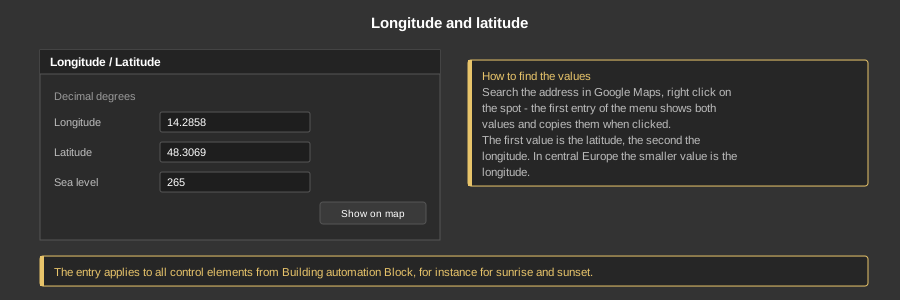
Both values are entered in decimal degrees, so 14.2858 instead of 14° 17' 9”. A comma is converted into a point automatically when saving. The field Sea level holds the altitude of the location in metres; it belongs to the location data of the project.
The button Show on map opens the entered position in Google Maps – so it can be checked right away.
Tip: To find the values, search the address in Google Maps and right click on the spot. The first entry of the menu shows both values and copies them into the clipboard when clicked. The first value is the latitude, the second the longitude. In central Europe the smaller of the two values is the longitude.
Note: The entry applies to all control elements and function blocks from the area Building automation Block. Older function blocks such as Sun position still have their own fields for longitude and latitude for compatibility reasons.